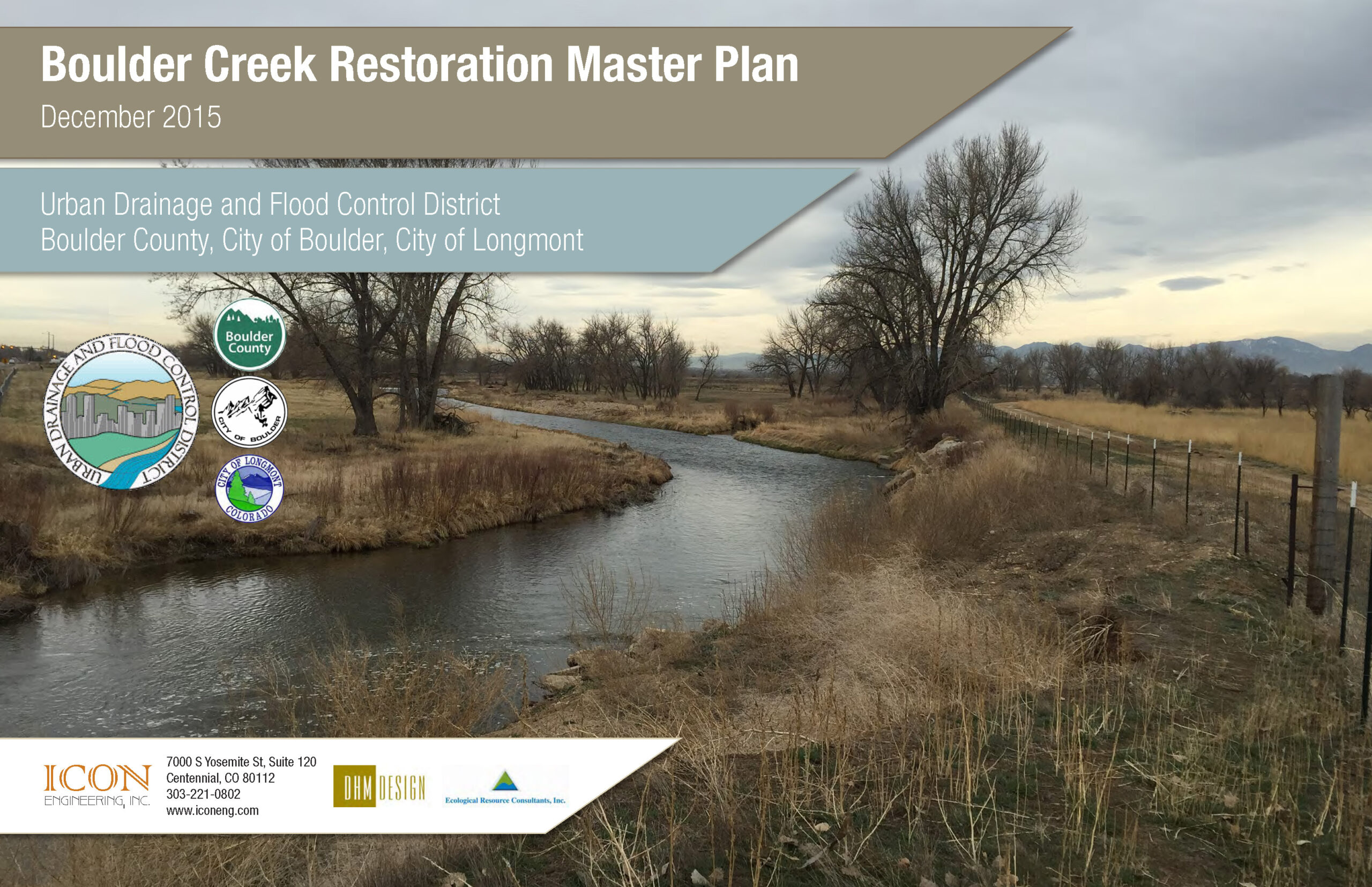
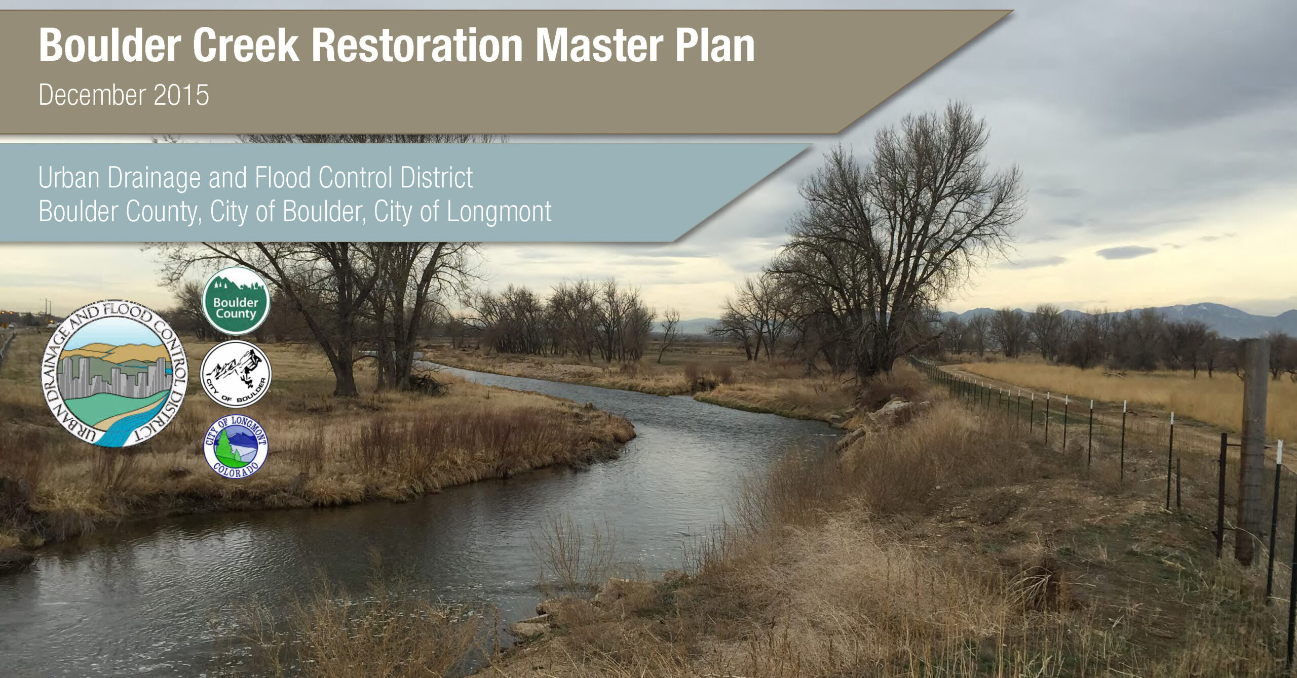
The Boulder Creek Restoration plan was contracted through the Mile High Flood District, but engaged both public and private stakeholders over a 24-mile long reach between Boulder Canyon to the confluence with St. Vrain Creek. Direct stakeholders included the City of Boulder, Boulder County and the City of Longmont; however the project also engaged the University of Colorado, FEMA, CDOT and water user representatives.
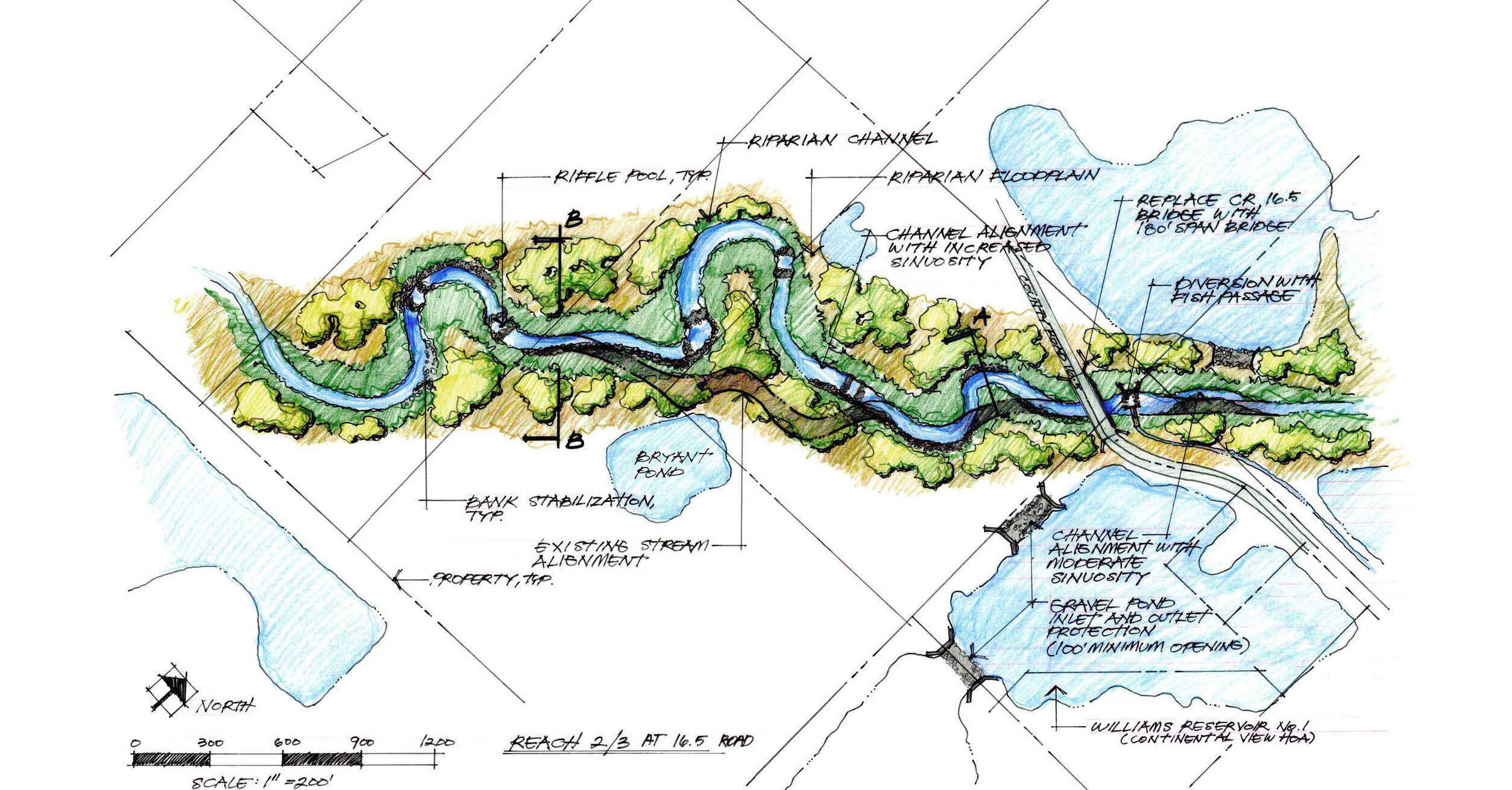
Extensive public engagement was conducted for each study and involved establishing individual project websites, developing a community engagement plan, conducting public workshops and meetings, and coordinating the master plan with all interested parties. Technical tasks reviewed changes in baseline hydrology resulting from recent CDOT investigations and related this information to stream hydraulics and geomorphic function. Stream geomorphology was evaluated from both a historic and practical management perspective, given the diversity between urban flood areas in the City of Boulder and open space within the City, Boulder County and Longmont. Ecological evaluations were conducted with recommendations regarding planting communities, restoration, aquatic and terrestrial habitat. Alternative development and cost estimates, project prioritization and decision making processes were incorporated in this master plan as well.
Master Planning
Mile High Flood District (formerly the Urban Drainage Flood Control District)
Design Complete: 2015
Construction Complete: N/A